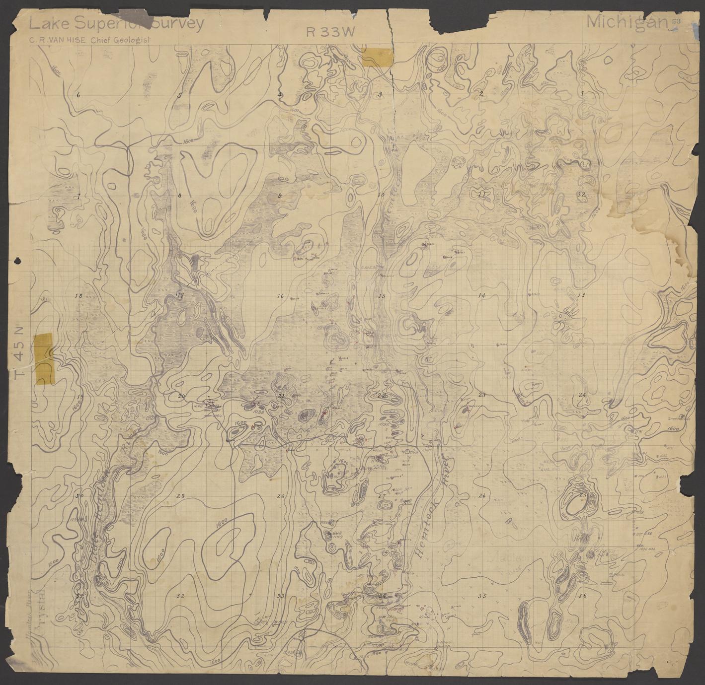
Geological map of area north of Amasa (Iron County, Michigan)
Date
ca. 1892
Summary
Hand-drawn map of Township 45 North, Range 33 West (Iron County, Mich.). Accompanies descriptions in notebooks numbered 286, 287, and 290. Drawings illustrate geological and natural features, including elevation and locations where geological samples were taken. Features include the Hemlock River and the Little Hemlock River.