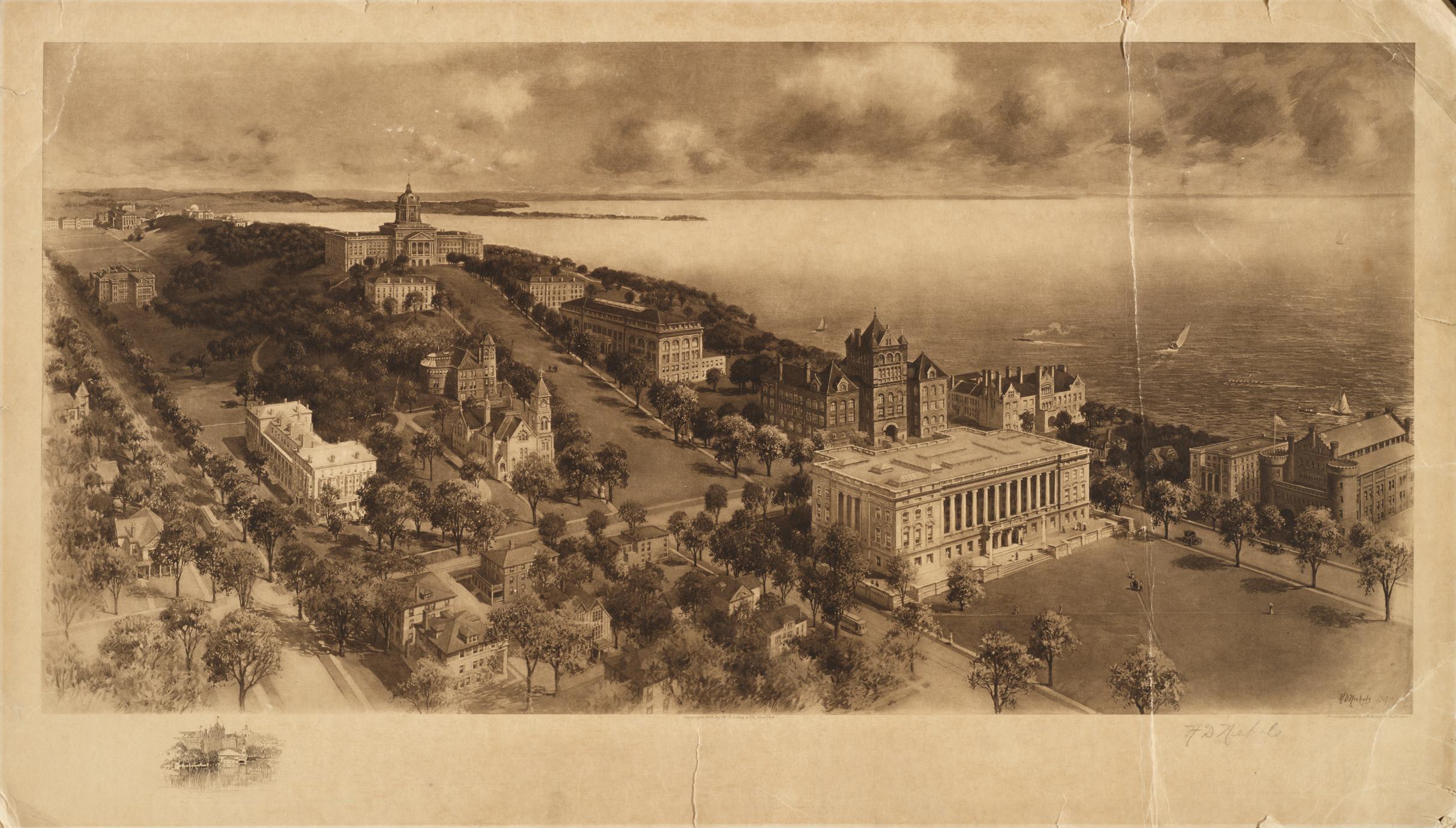
Birdseye view of campus by H. D. Nichols. Photogravure by A. W. Elson and Co., Boston. See CLP-Z0011 for a similar map, dated 1917. It appears that the 1917 map was based on this version--only buildings such as Birge Hall (1912) and Wisconsin High School (1914) have been added.
To obtain permission to publish or reproduce, please contact the University of Wisconsin Libraries at uwarchiv@library.wisc.edu or digitalcontent@library.wisc.edu
